Because so many of us will have been on the road on Saturday, I'm going to tone it down on Sunday.It must have been enough of an invitation; eight others, besides Laura and I, came out to do this ride. She came with two routes, and this one, to the Oldwick General Store, was chosen randomly. Whether toned down or not, we wound up with 4900 feet of climb over the 55 miles... but none of the ascents were awful, and only a few were "annoying" (I hear about "annoying ascents" more and more frequently; I'm beginning to suspect that term has a specific meaning of which I'm not aware).
Really. There won't be as much climbing. We will go 50-55 miles, though. I can hear you razzing me already.
One of those who joined us was Peter H, astride his bike after hip surgery. He left before 15 miles (he had anther commitment), but it was good to see him nonetheless. I noted that Ed C, aka "Snakehead", was chatting with Peter; I know they've ridden together in the past.
Despite the climb numbers, I found much of the ride surprisingly flat, given the area we were going through. It was a pretty day (started cold, though). You should have come out; you would have liked it.
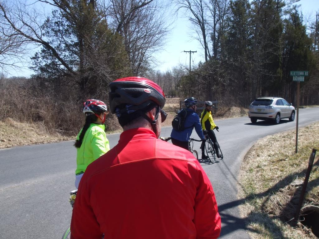
Pictures - early porta-potty break:

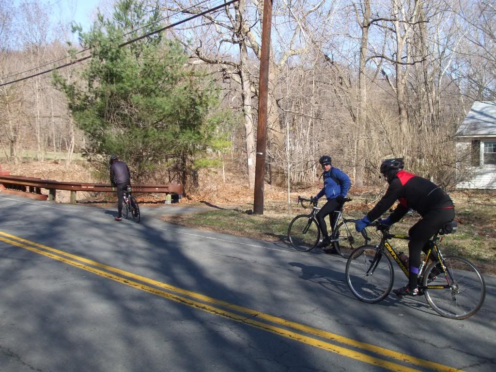
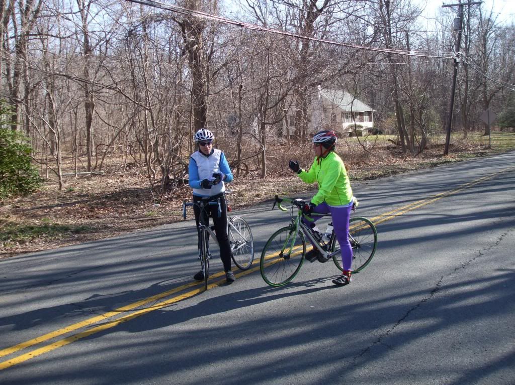
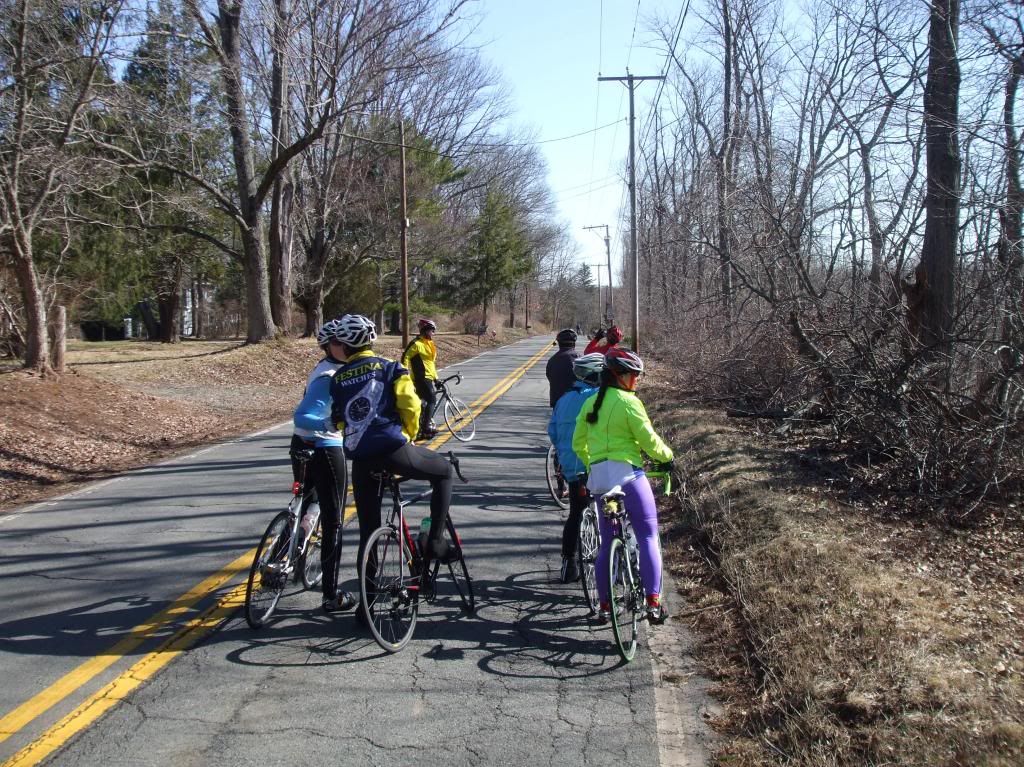
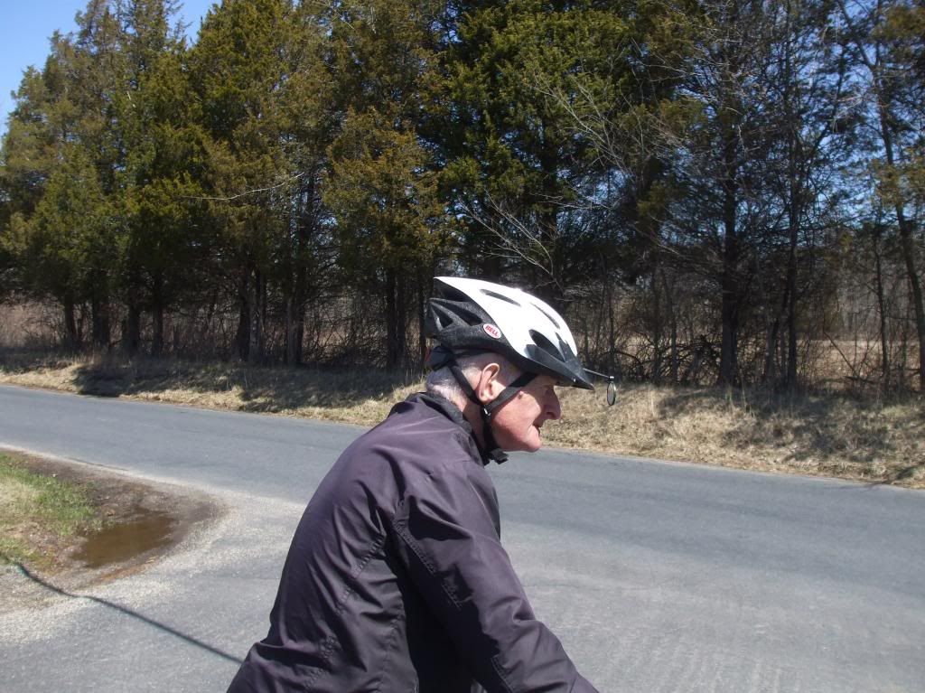
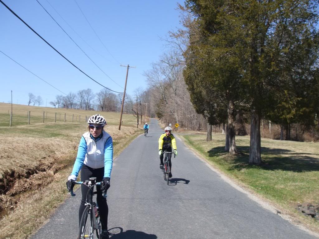
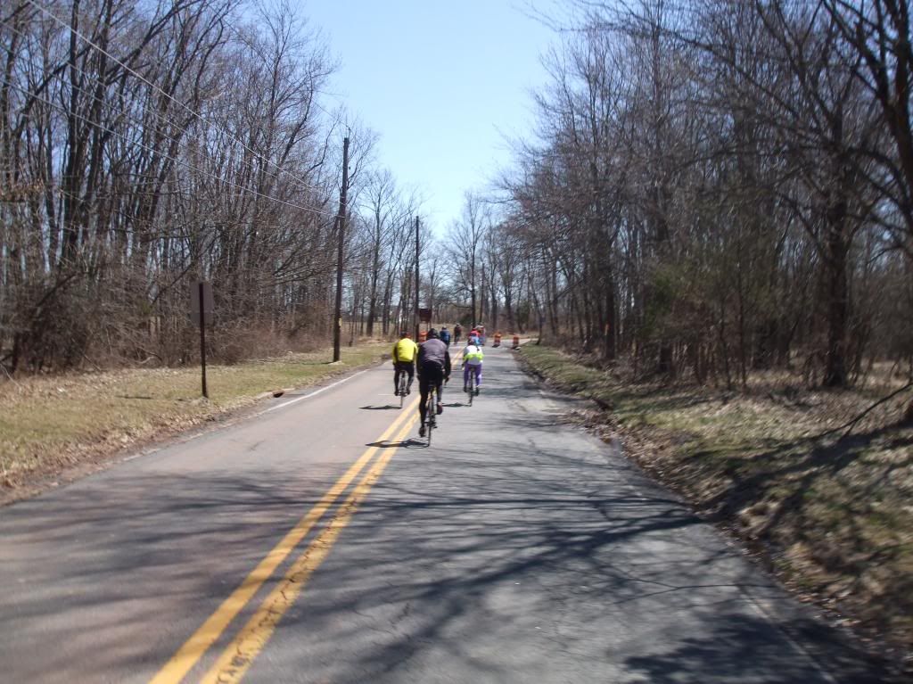
Along the road:
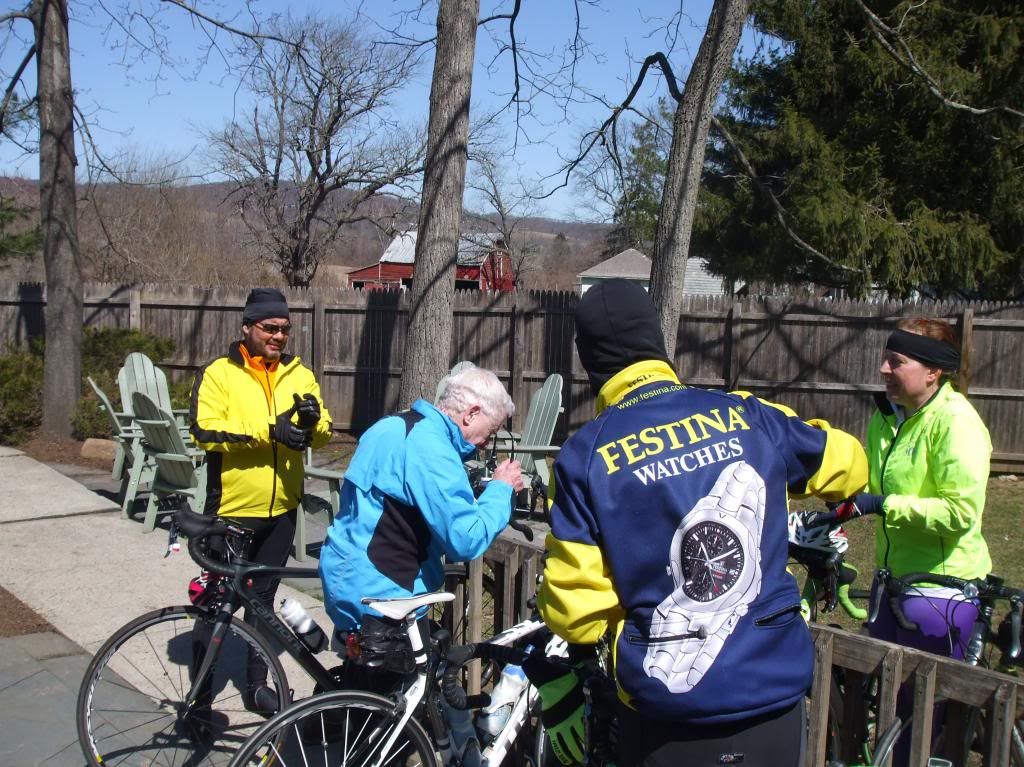
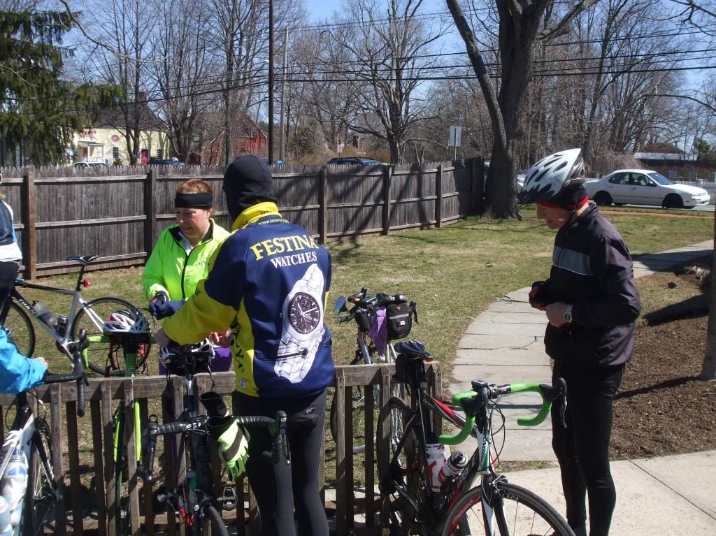
At the Oldwick General Store:
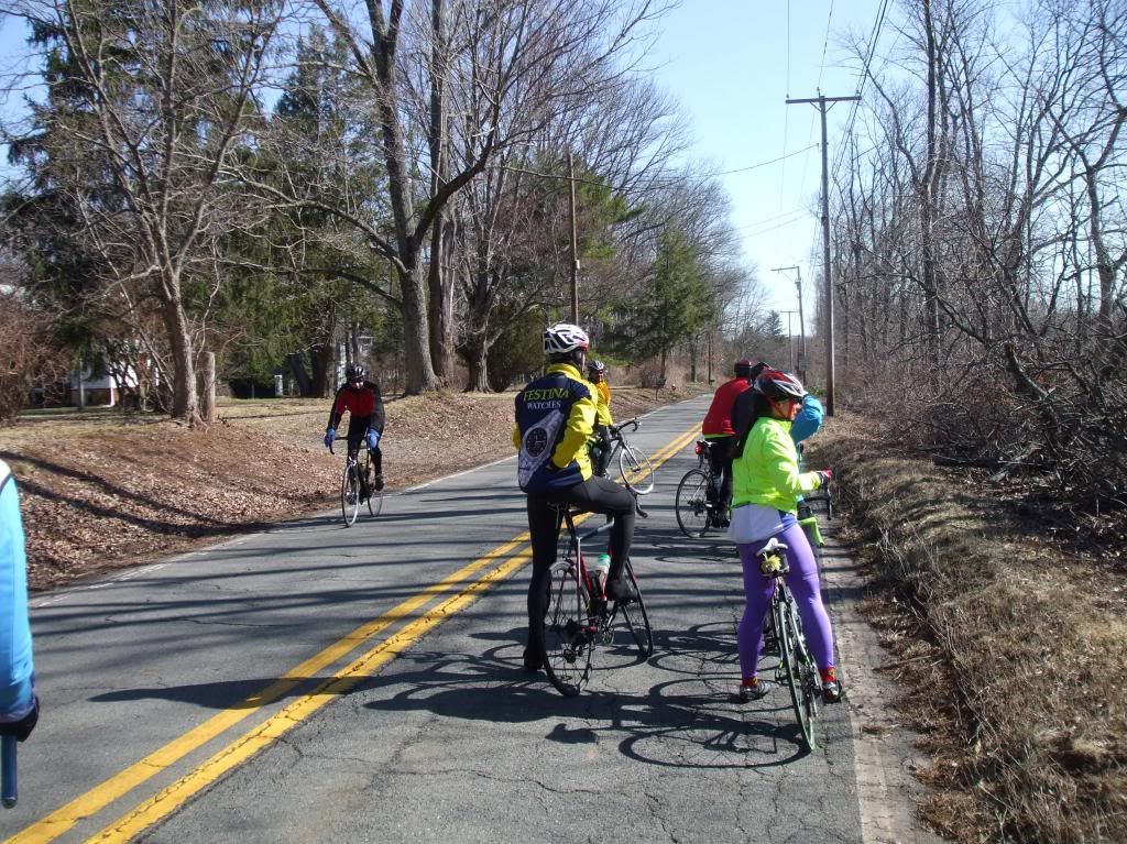
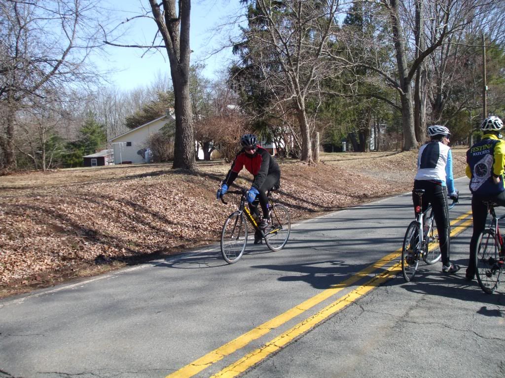
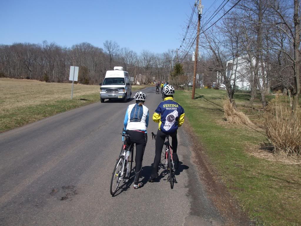
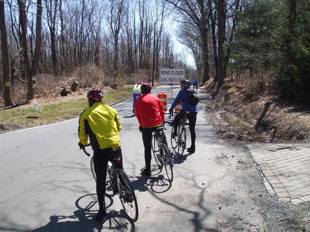
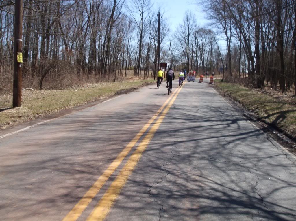
Back on the road:
Wait... is East Mountain Road... CLOSED?!
Hrmph. Just some dirt road. Hardly worth worrying about.
Something's not right with Mister Garmin. The last time we did 5000 feet in 50 miles was with Tom out of Milford, to Belvidere, last summer. The time before that was the epic El Capitan ride, the one where we were memorializing Tom in song starting at 8 miles. I remember how those rides felt. This didn't feel like that at all, and we weren't on fresh legs.
ReplyDeleteRidewithgps is announcing that they've changed their algorithm to more closely match devices with barometric altimeters. When I mapped today's route two days ago, the reported elevation gain was 2411 feet, which is about what it felt like. Mapmyride, which used to give half the elevation gain of ridewithgps, gives 2512 feet.
While I'd like to think that I've been climbing twice as much as I thought I have, I think we need another opinion.
This is going to open up that whole "how long is the New Jersey coastline" question: What scale are we using?
P.S. I checked my hand-written cue sheet from our Lambertville to Clinton ride two weeks ago. At the time, ridewithgps gave it 3530 feet of elevation gain. The new algorithm now lists it as 2979 feet. Mister Garmin says we climbed 4478 feet on that route. Mister Garmin makes us look tough.
ReplyDeleteI've noticed that the elevation numbers Jim posts always look much higher than I would expect. Either he has a dodgy unit, or there's something up with the website.
ReplyDelete