Today's scheduled Hill Slugs ride was, in the words of leader Laura OLPH, "...outsourced to Cheryl and her biking buddies from northern New Jersey. The ride will be a 30-mile out-and-back trip on the Columbia Trail, a rails-to-trails project that goes from Long Valley to High Bridge along the Raritan River." Afterwards, they were going to repair to a brew pub (where I don't belong), and it looked like it was going to be an all-day affair. I didn't want to go, initially, but Laura persuaded me.
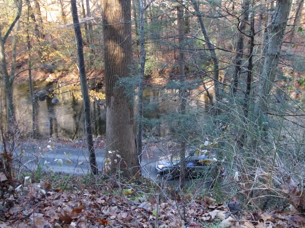
This website for the Columbia Trail says it's11 miles long, but we got 15 from the beginning in Bartley (on the Morris County part of the trail) to the end in High Bridge (in Hunterdon County). Since it's a rails-to-trails project, much of it travels the old railroad right-of-way (some of those turns were too tight for any train; I'm sure there have been adjustments since the last train went through), and since the trains couldn't manage huge hills, the grades are reasonable - uphills are long and low. It also means, as you'll see from the pictures, that there are some gorges made by the high railroad berms over the low river; some of the views are dramatic.
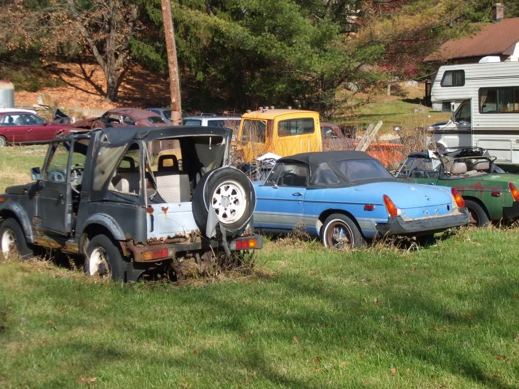
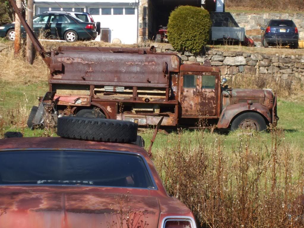
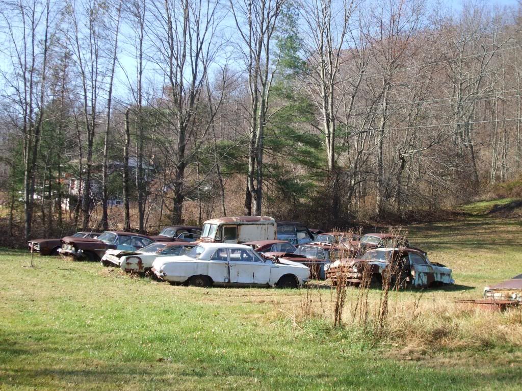
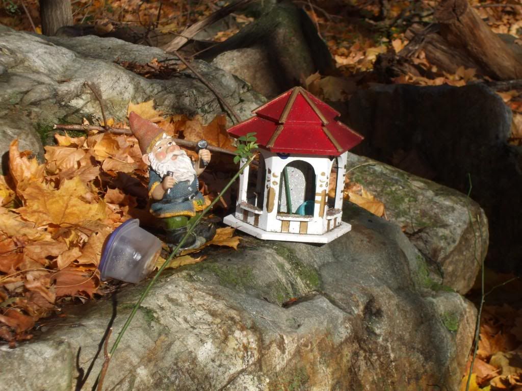
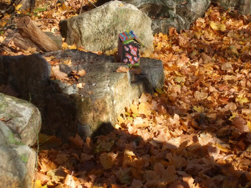
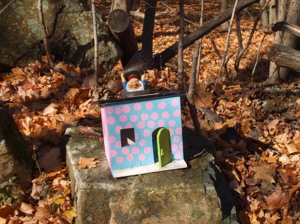
There is some local weirdness, too: in one place, was passed a graveyard of cars rusting into ore, including two MG's, a vintage Mustang, and a service truck I could not describe (see the pics below). In another, not content with putting up birdhouses, the locals have placed a series of gnome homes.
I didn't know much about off-road riding (and, after this ride, I realize I still don't). I didn't realize what a workout 30 miles (15 out and the same distance back; no GPS route because I don't have a mount for the hybrid) would be. On the way back, we stopped at that neat Califon stop, and I was glad for the rest. Leader Tom (one of the referenced "northern biking buddies") said that you don't coast for much of the distance, and he's right - I didn't pedal ALL the way (on my heavy hybrid), but I didn't coast much, even on the (gentle) downhills. Chris C was trying to give me a basic education in mountain biking, but not much of it stuck. In addition to Cheryl, Laura, Tom, Chris, and me, we had Ron S and another northerner, Dave; a bit later we were joined by Al, one of Tom's friends. Al and I matched paces a bit on the way back.
At the end, the rest went off to the brew pub, and I went home to The Excellent Wife (TEW), who's having a birthday. We've been out to the Blue Point Grill, and now I'm back with laundry in the dryer and typing up this post. In a bit, she'll get her present: a gift certificate to the Forrestal Marriott Spa, where she'd be a regular if we were wealthier.
YONKS of pictures below:
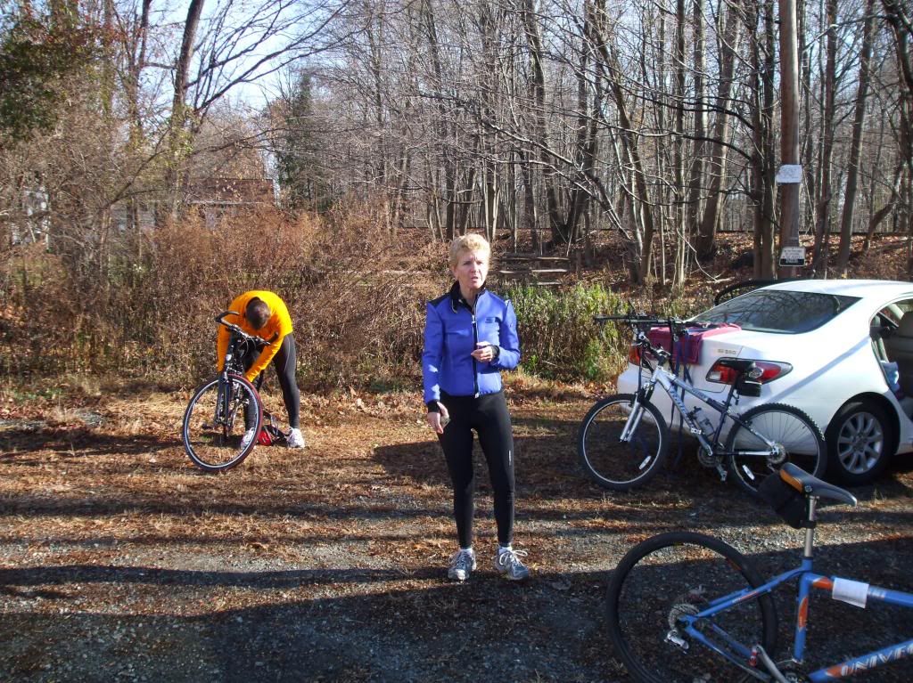
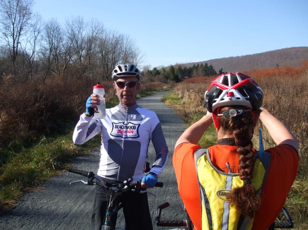
Below, Tom offers me a toast while Laura takes a picture:
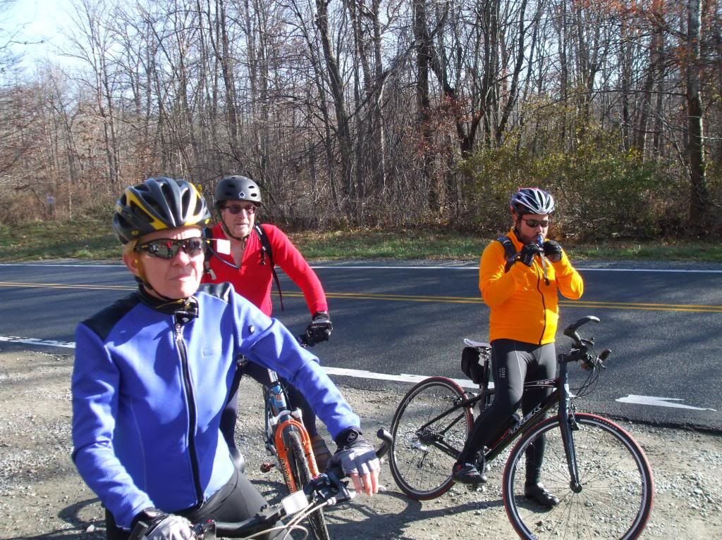
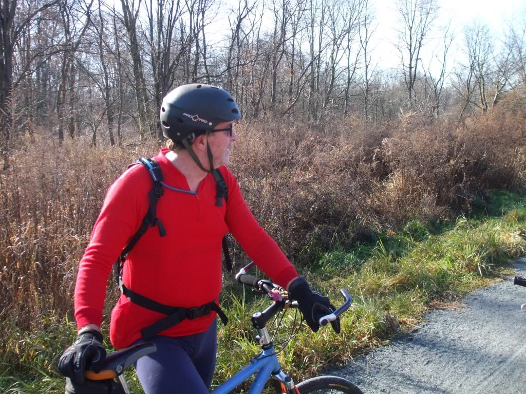
I like the one below of Chris.
Below, the auto graveyard:
Gnome homes:
The car below shows how far above the road and the river the trail goes:
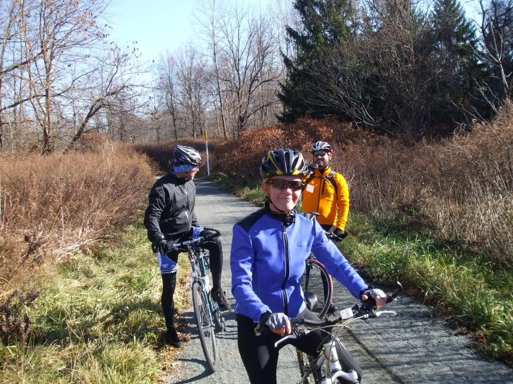
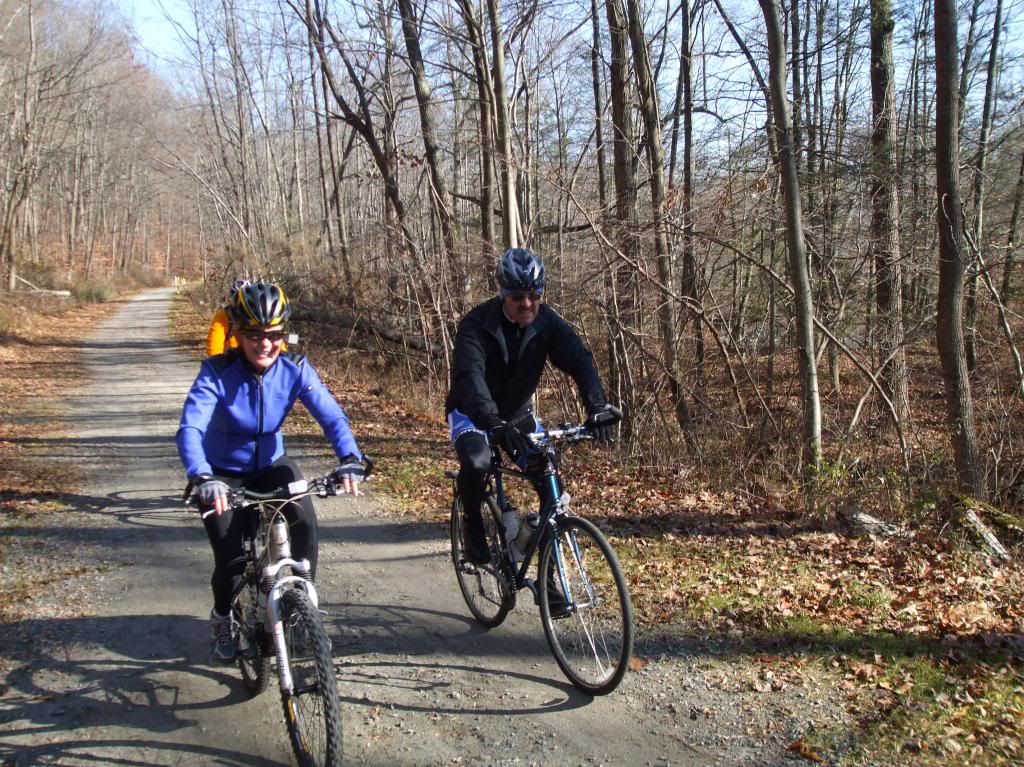
Below: Tom would be a lot of fun if he'd just loosen up a bit. (And is Laura taking another picture?)
Below, you can see the shadow of the trail bridge below the fly-fisherman.



Nice write-up and great pictures. I've wanted to do this trail for some time, but just haven't made it up there. At least from the pictures, it looks like you could use a road bike with 25 or 27 cm tires, as long as it's dry...thoughts?
ReplyDeleteJack
On a dry day, there would be no problem with 25-27mm tires digging into the surface. Two things I didn't mention, though: 1) much of the surface was loose gravel; the guys on cyclocross bikes did ok, but thinner tires might have been challenging; 2) over some of the trail (especially in Hunterdon), equestrians ride Clydesdales, and their sharp, heavy hooves roughen the surface - even on my suspended-fork-and-seatpost hybrid, these sections were rough. If you're going to do it on a road bike, wear the shorts with the extra padding!
ReplyDelete